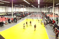
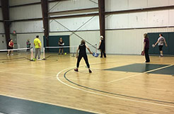
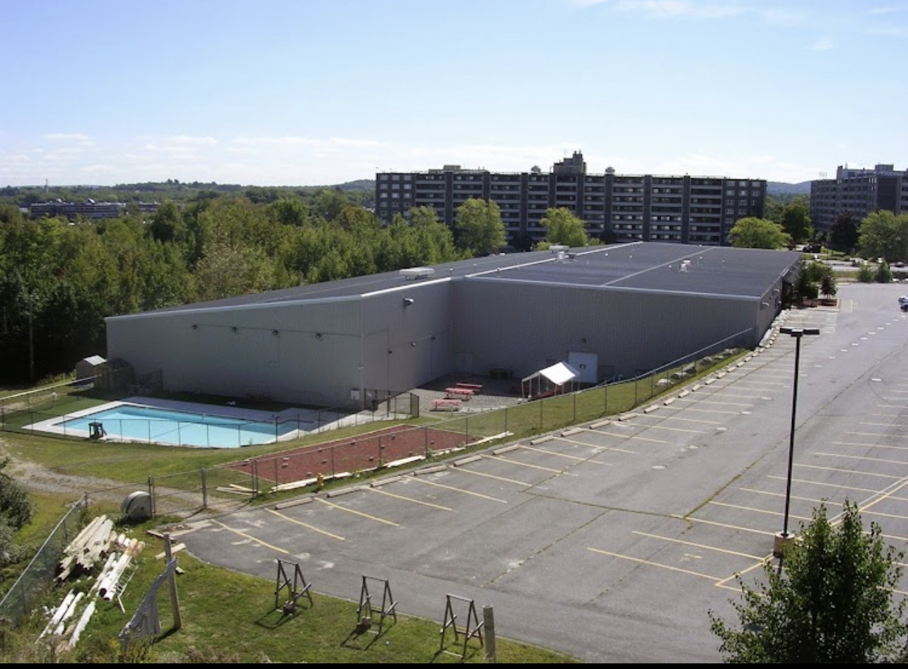
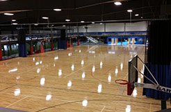
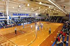
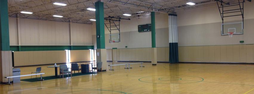
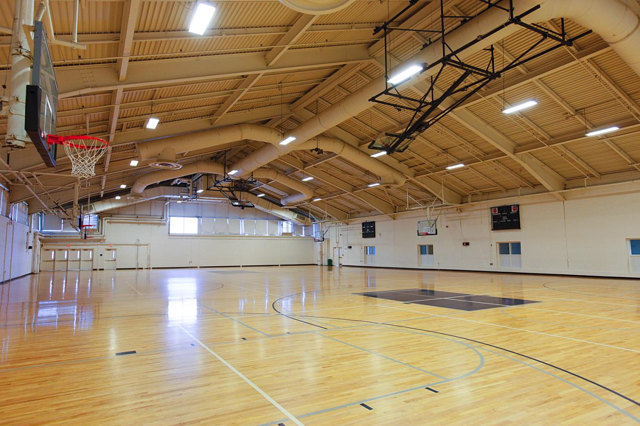
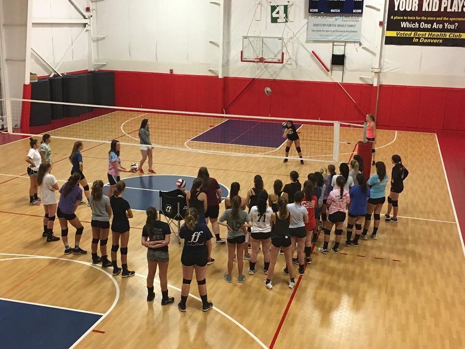
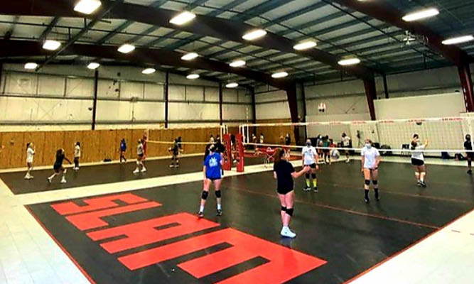
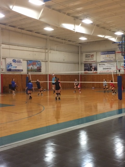
All of our current tournament venues are listed below.
Click the Get Directions button for a Google map and additional information.

-

ASC-L: Assumption College-Laska
VENUE CODE:ASC-LVENUE ADDRESS:ASC-L: Assumption College-Laska
500 Salisbury St.
Worcester, MA 01609
VENUE WEBSITE: -
ASC-P: Assumption College-Plourdes
VENUE CODE:ASC-PVENUE ADDRESS:ASC-P: Assumption College-Plourdes
Assumption College
Worcester, MA 01609
-
ASH: Ashland High School
VENUE CODE:ASHVENUE ADDRESS:ASH: Ashland High School
63 East Union Street
Ashland, MA 01721
VENUE WEBSITE:N/A -
AYCC: Alfond Youth and Community Center
VENUE CODE:AYCCVENUE ADDRESS:AYCC: Alfond Youth and Community Center
126 North Street
Waterville, ME 04901
VENUE WEBSITE: -
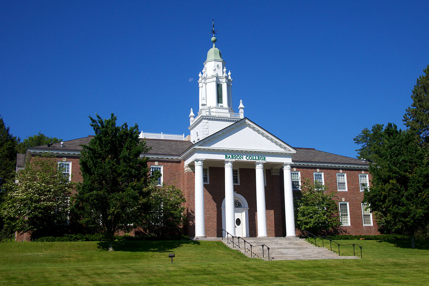
BAB: Babson College
VENUE CODE:BABVENUE ADDRESS:BAB: Babson College
231 Forest St.
Babson Park, MA 02457
VENUE WEBSITE:N/A -
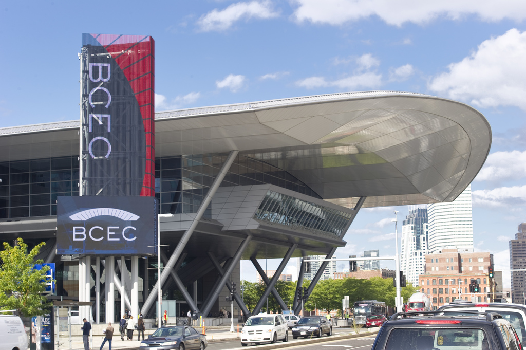
BCC: Boston Convention and Exhibition Center
VENUE CODE:BCCVENUE ADDRESS:BCC: Boston Convention and Exhibition Center
415 Summer St
Boston, MA 02210
VENUE WEBSITE:N/A -
BCH: Burncoat High School
VENUE CODE:BCHVENUE ADDRESS:BCH: Burncoat High School
179 Burncoat St
Worcester, MA 01606
VENUE WEBSITE:N/A -
BEHS: Bonney Eagle High School
VENUE CODE:BEHSVENUE ADDRESS:BEHS: Bonney Eagle High School
700 Saco Road
Standish, ME 04084
-
BEMS: Bonney Eagle Middle School
VENUE CODE:BEMSVENUE ADDRESS:BEMS: Bonney Eagle Middle School
92 Sokokis Trail
Buxton, ME 04093
VENUE WEBSITE: -
BES: Broadmeadow Elementary School
VENUE CODE:BESVENUE ADDRESS:BES: Broadmeadow Elementary School
120 Broad Meadow Road
Needham, MA 02492
VENUE WEBSITE: -
BOB: Boston Basketball
VENUE CODE:BOBVENUE ADDRESS:BOB: Boston Basketball
411 Waverley Oaks Road, Suite 208
Waltham, MA 02452
VENUE WEBSITE:N/A -
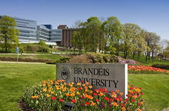
BRU: Brandeis University
VENUE CODE:BRUVENUE ADDRESS:BRU: Brandeis University
415 South St
Waltham, MA 02453
VENUE WEBSITE:N/A -
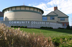
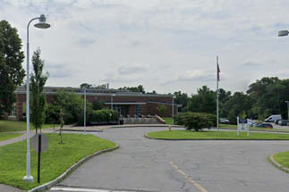
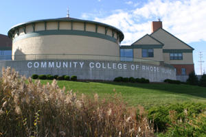
CCRIL: Community College of Rhode Island - Lincoln
VENUE CODE:CCRILVENUE ADDRESS:CCRIL: Community College of Rhode Island - Lincoln
1762 Louisquisset Pike
Lincoln, RI 02865
VENUE WEBSITE:N/A -
CFHS: Central Falls High School
VENUE CODE:CFHSVENUE ADDRESS:CFHS: Central Falls High School
24 Summer St
Central Falls, RI 02863
VENUE WEBSITE:N/A -
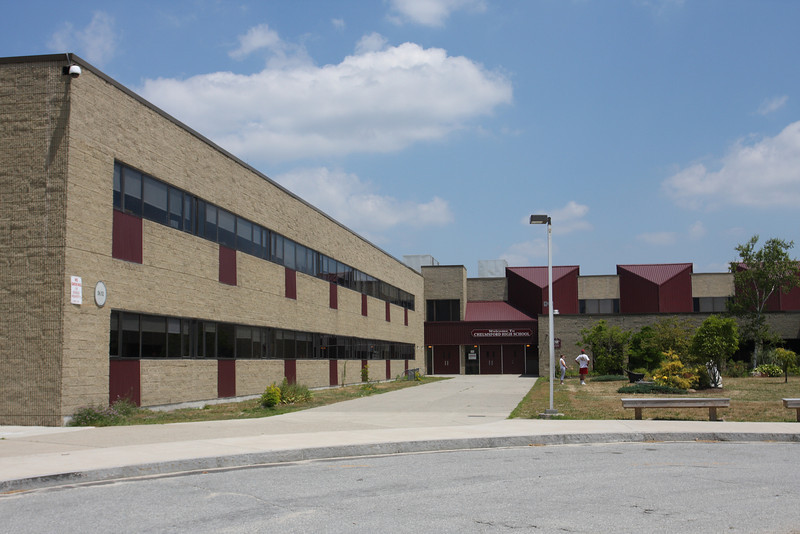
CHS: Chelmsford High School
VENUE CODE:CHSVENUE ADDRESS:CHS: Chelmsford High School
200 Richardson Rd.
Chelmsford, MA 01863
VENUE WEBSITE:N/A -
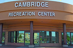
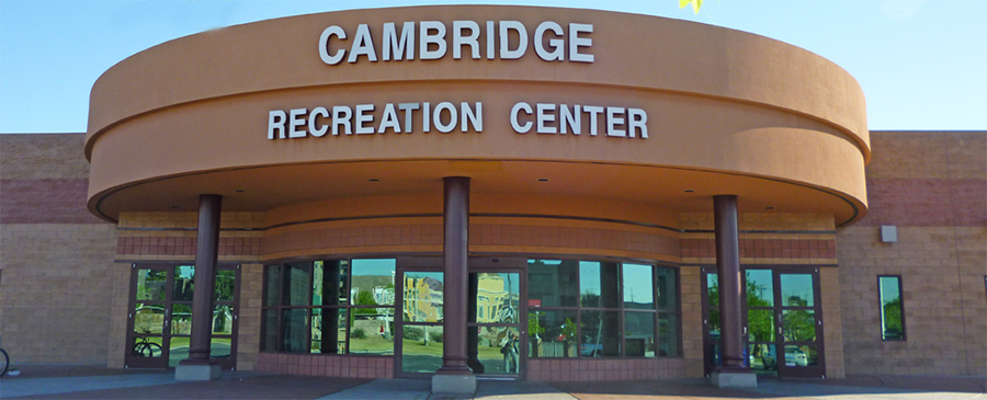
CRC: Cambridge Recreation Center
VENUE CODE:CRCVENUE ADDRESS:CRC: Cambridge Recreation Center
1640 Cambridge Street
Cambridge, MA 02138
VENUE WEBSITE:N/A -
CTSC: Connecticut Sports Center
VENUE CODE:CTSCVENUE ADDRESS:CTSC: Connecticut Sports Center
21 South Bradley Rd.
Woodbridge, CT 06525
VENUE WEBSITE:N/A -
CUC: Curry College
VENUE CODE:CUCVENUE ADDRESS:CUC: Curry College
1071 Blue Hill Avenue
Milton, MA 02186
VENUE WEBSITE:N/A -
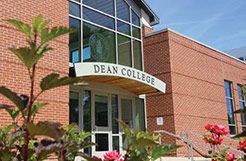
DEAN: Dean College
VENUE CODE:DEANVENUE ADDRESS:DEAN: Dean College
99 Main Street
Franklin, MA 02038
VENUE WEBSITE:N/A -
DHW: Dana Hall School
VENUE CODE:DHWVENUE ADDRESS:DHW: Dana Hall School
45 Dana Road
Wellesley, MA 02482
VENUE WEBSITE:N/A -
DIS: Danvers Indoor Sports
VENUE CODE:DISVENUE ADDRESS:DIS: Danvers Indoor Sports
150R Andover St.
Danvers, MA 01923
VENUE WEBSITE:N/A -
EGH: East Greenwich High School
VENUE CODE:EGHVENUE ADDRESS:EGH: East Greenwich High School
300 Avenger Dr.
East Greenwich, RI 02818
VENUE WEBSITE:N/A -
ELKS: Hudson Elks
VENUE CODE:ELKSVENUE ADDRESS:ELKS: Hudson Elks
69 Brigham Street
Hudson, MA 01749
VENUE WEBSITE:N/A -
EMC: Emerson College
VENUE CODE:EMCVENUE ADDRESS:EMC: Emerson College
120 Boylston Street
Boston, MA 02116
VENUE WEBSITE:N/A -
EMNC: Emmanuel College
VENUE CODE:EMNCVENUE ADDRESS:EMNC: Emmanuel College
400 The Fenway
Boston, MA 02115
VENUE WEBSITE:N/A -
ENC: Eastern Nazarene College
VENUE CODE:ENCVENUE ADDRESS:ENC: Eastern Nazarene College
Wendell Avenue
Quincy, MA 02170
VENUE WEBSITE: -
ESC: Eastern Sports Center
VENUE CODE:ESCVENUE ADDRESS:ESC: Eastern Sports Center
175 Plaistow Street
Plaistow, NH 03865
VENUE WEBSITE:N/A -
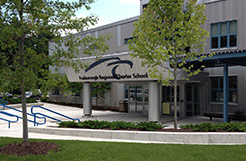
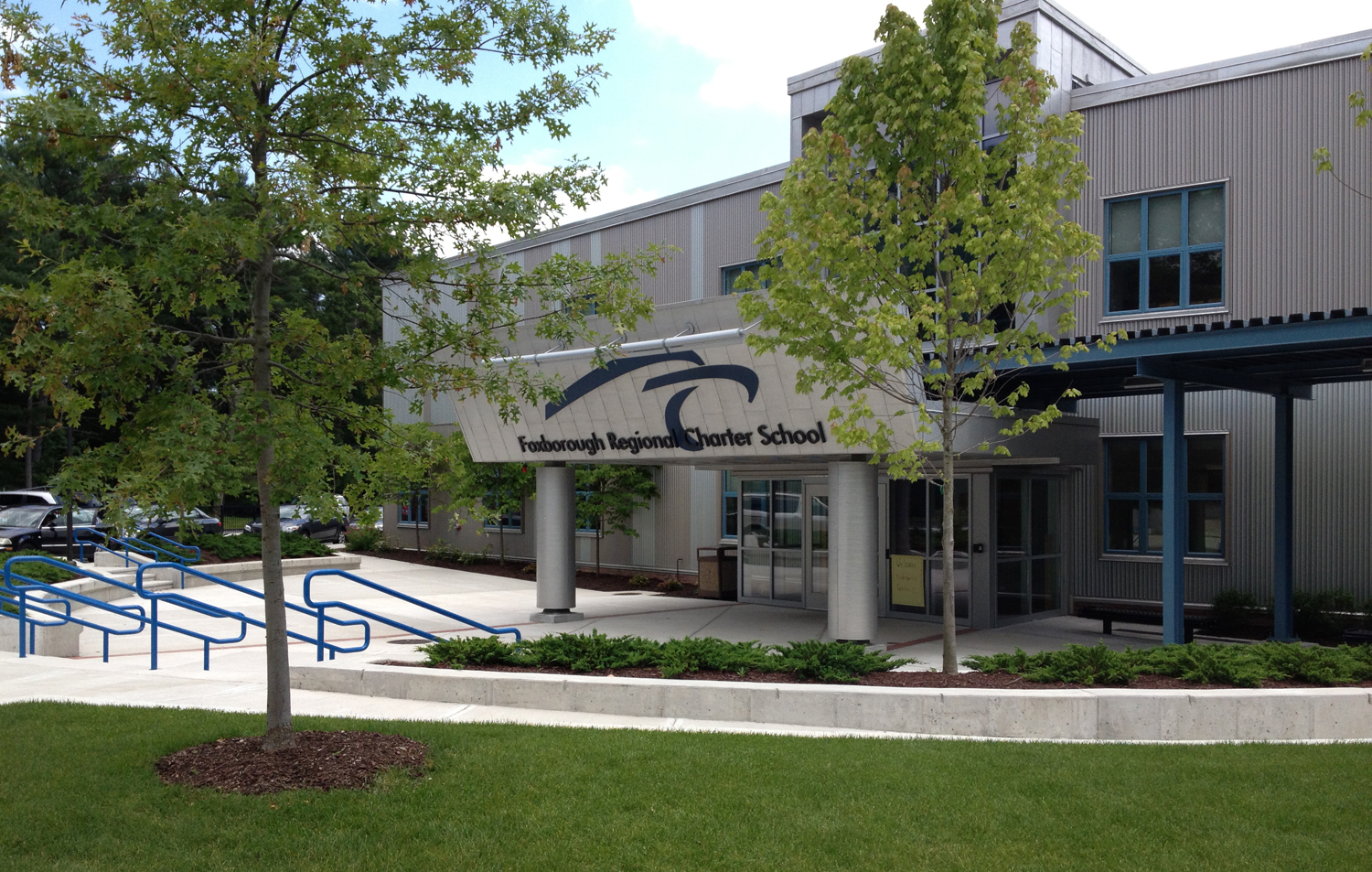
FCS: Foxborough Charter School
VENUE CODE:FCSVENUE ADDRESS:FCS: Foxborough Charter School
131 Central Street
Foxborough, MA 02035
VENUE WEBSITE:N/A -

FES: Fessenden School
VENUE CODE:FESVENUE ADDRESS:FES: Fessenden School
250 Waltham Street
Newton, MA 02465
VENUE WEBSITE:N/A -
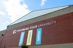
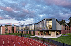
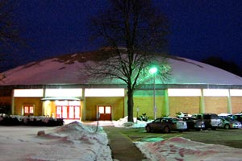
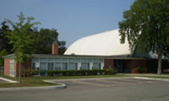
FIT: Fitchburg State
VENUE CODE:FITVENUE ADDRESS:FIT: Fitchburg State
160 Pearl St
Fitchburg, MA 01420
VENUE WEBSITE: -
GOF: Game On Fitchburg
VENUE CODE:GOFVENUE ADDRESS:GOF: Game On Fitchburg
100 Game On Way
Fitchburg, MA
VENUE WEBSITE: -
HSU: Husson University
VENUE CODE:HSUVENUE ADDRESS:HSU: Husson University
1 College Cir
Bangor, ME 04401
VENUE WEBSITE: -
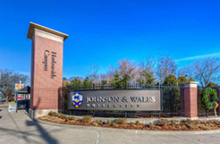
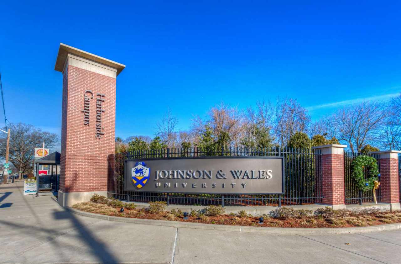
JWU: Johnson & Wales University
VENUE CODE:JWUVENUE ADDRESS:JWU: Johnson & Wales University
305 Shipyard Street
Providence, RI 02903
VENUE WEBSITE:N/A -
LAW: Lawrence High School
VENUE CODE:LAWVENUE ADDRESS:LAW: Lawrence High School
70/71 North Parish Road
Lawrence, MA 01843
VENUE WEBSITE:N/A -
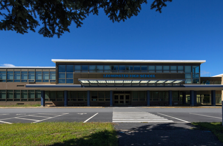
LEO: Leominster High School
VENUE CODE:LEOVENUE ADDRESS:LEO: Leominster High School
122 Granite Street
Leominster, MA 01453
VENUE WEBSITE:N/A -
LEWA: Lewiston Armory
VENUE CODE:LEWAVENUE ADDRESS:LEWA: Lewiston Armory
65 Central Ave
Lewiston, ME 04240
-

LPX: Longplex Sport Center
VENUE CODE:LPXVENUE ADDRESS:LPX: Longplex Sport Center
300 Industrial Way
Tiverton, RI 02878
VENUE WEBSITE:N/A -
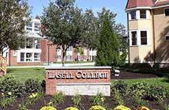
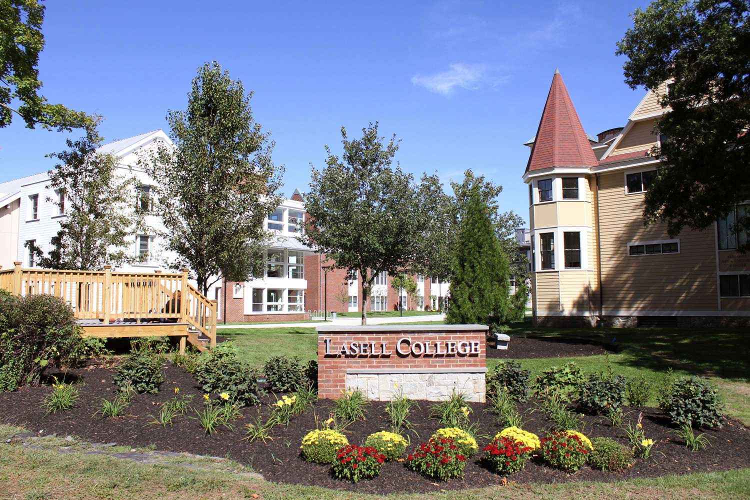
LSC: Lasell College
VENUE CODE:LSCVENUE ADDRESS:LSC: Lasell College
1844 Commonwealth Avenue
Newton, MA 02466
VENUE WEBSITE:N/A -
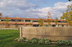
LSHS: Lincoln/Sudbury High School
VENUE CODE:LSHSVENUE ADDRESS:LSHS: Lincoln/Sudbury High School
390 Lincoln Rd
Sudbury, MA 01776
VENUE WEBSITE:N/A -
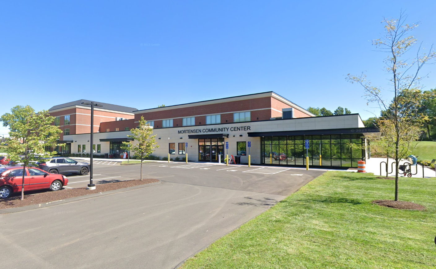
MCC: Mortensen Community Center
VENUE CODE:MCCVENUE ADDRESS:MCC: Mortensen Community Center
200 Garfield St.
Newington, CT 06111
VENUE WEBSITE:N/A -
MGA: MGA Sports
VENUE CODE:MGAVENUE ADDRESS:MGA: MGA Sports
675 Canton Street
Norwood, MA 02493
VENUE WEBSITE:N/A -
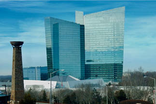
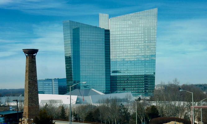
MHG: Mohegan Sun
VENUE CODE:MHGVENUE ADDRESS:MHG: Mohegan Sun
1 Mohegan Sun Blvd
Uncasville, CT 06382
VENUE WEBSITE: -
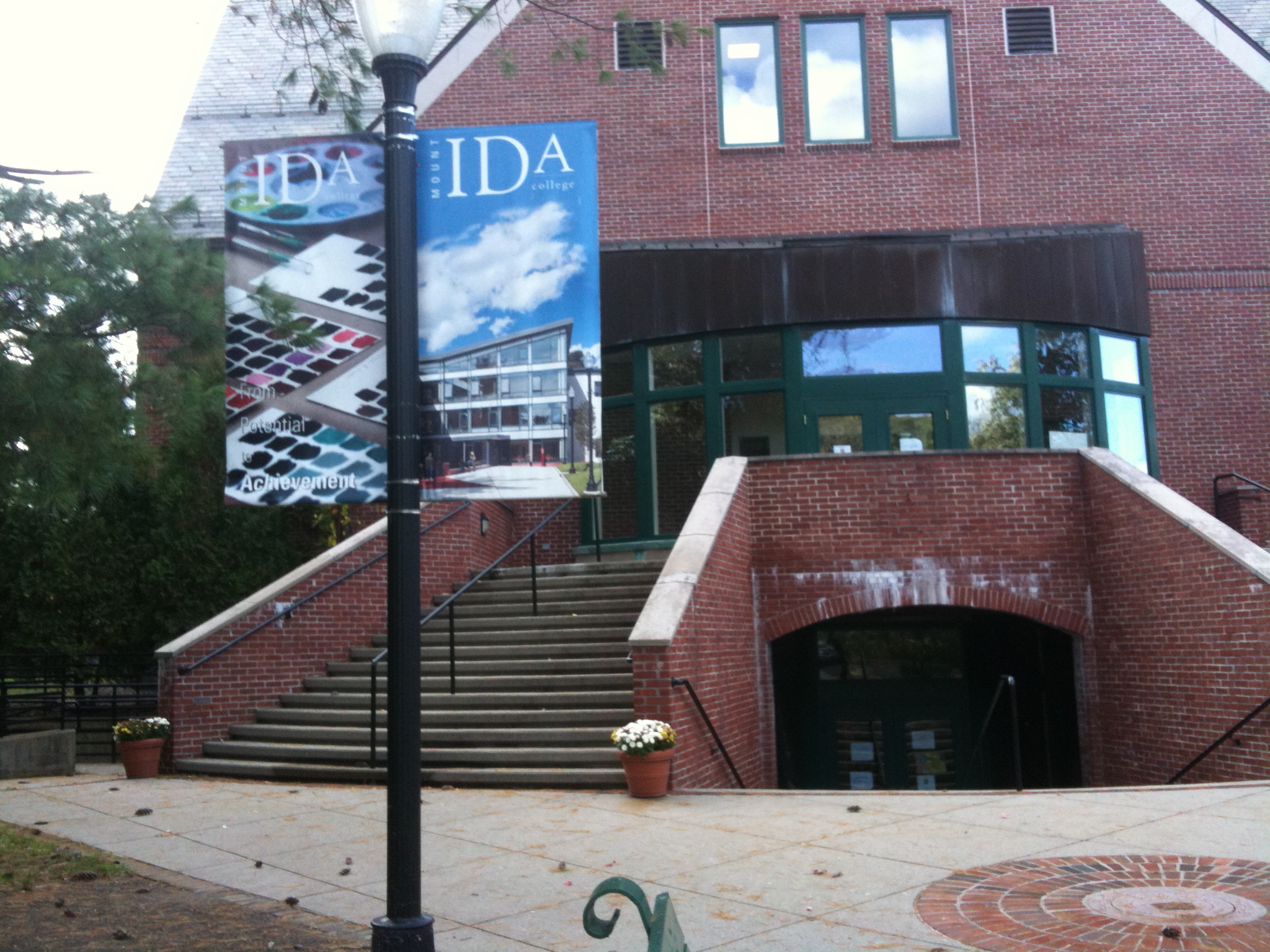
MID: Mount Ida College
VENUE CODE:MIDVENUE ADDRESS:MID: Mount Ida College
777 Dedham Street
Newton, MA 02459
VENUE WEBSITE:N/A -
MIT: Massachusetts Institute of Technology
VENUE CODE:MITVENUE ADDRESS:MIT: Massachusetts Institute of Technology
77 Massachusetts Ave
Cambridge, MA 02139
VENUE WEBSITE:N/A -
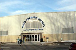
MPC: Mass Premier Courts
VENUE CODE:MPCVENUE ADDRESS:MPC: Mass Premier Courts
97 Green Street, Route 106
Foxboro, MA 02035
VENUE WEBSITE:N/A -
MPX: M-PLEX
VENUE CODE:MPXVENUE ADDRESS:MPX: M-PLEX
31 Oxford Rd
Mansfield, MA 02048
VENUE WEBSITE:N/A -
MWK: The Mill Works
VENUE CODE:MWKVENUE ADDRESS:MWK: The Mill Works
22 Town Farm Road
Westford, MA 01886
VENUE WEBSITE:N/A -
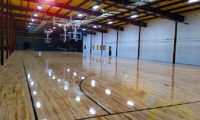
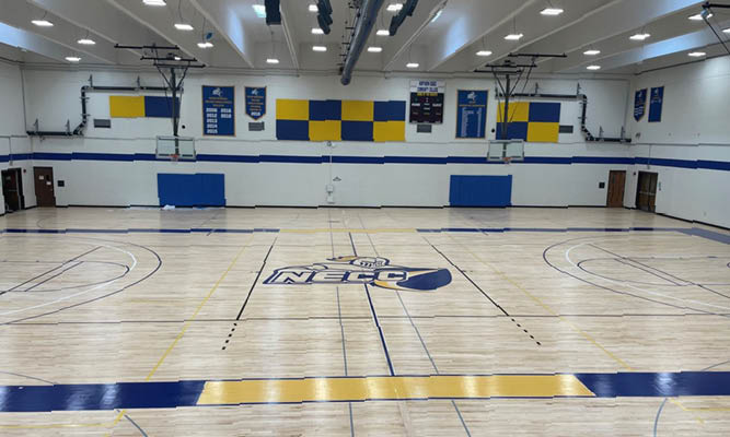
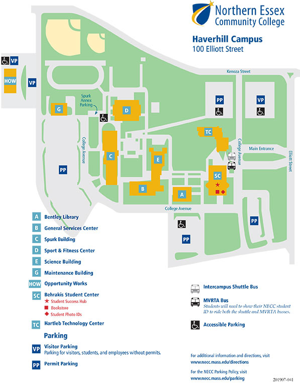
NECC: North Essex Community College
VENUE CODE:NECCVENUE ADDRESS:NECC: North Essex Community College
100 Elliot Street
Haverhill, MA 01830
VENUE WEBSITE:N/A -
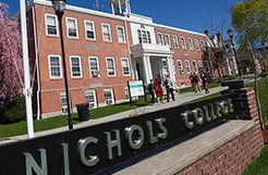
NIC: Nichols College
VENUE CODE:NICVENUE ADDRESS:NIC: Nichols College
129 Center Road
Dudley, MA 01571
VENUE WEBSITE:N/A -
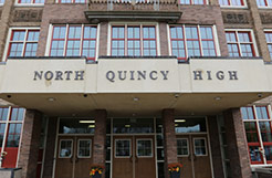
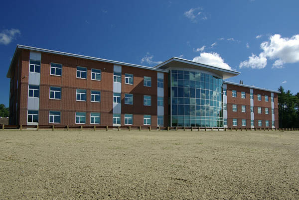
NQHS: North Quincy High School
VENUE CODE:NQHSVENUE ADDRESS:NQHS: North Quincy High School
316 Hancock St
Quincy, MA 02171
VENUE WEBSITE:N/A -
NRH: North Reading High School
VENUE CODE:NRHVENUE ADDRESS:NRH: North Reading High School
191 Park Street
North Reading, MA 01864
VENUE WEBSITE:N/A -
NSHS: Newton South High School
VENUE CODE:NSHSVENUE ADDRESS:NSHS: Newton South High School
140 Brandeis Road
Newton, MA 02465
VENUE WEBSITE:N/A -
NSY: North Shore YMCA
VENUE CODE:NSYVENUE ADDRESS:NSY: North Shore YMCA
175 Plaistow Rd.
Plaistow, NH 03865
VENUE WEBSITE:N/A -
NTW: Teamworks - Northboro
VENUE CODE:NTWVENUE ADDRESS:NTW: Teamworks - Northboro
185 Otis Street
Northborough, MA 01532
VENUE WEBSITE:N/A -
OXH: Oxford High School
VENUE CODE:OXHVENUE ADDRESS:OXH: Oxford High School
100 Carbuncle Drive
Oxford, MA 01540
VENUE WEBSITE:N/A -
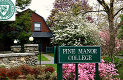
PMC: Pine Manor College
VENUE CODE:PMCVENUE ADDRESS:PMC: Pine Manor College
400 Heath Street
Chestnut Hill, MA 02467
VENUE WEBSITE:N/A -
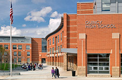
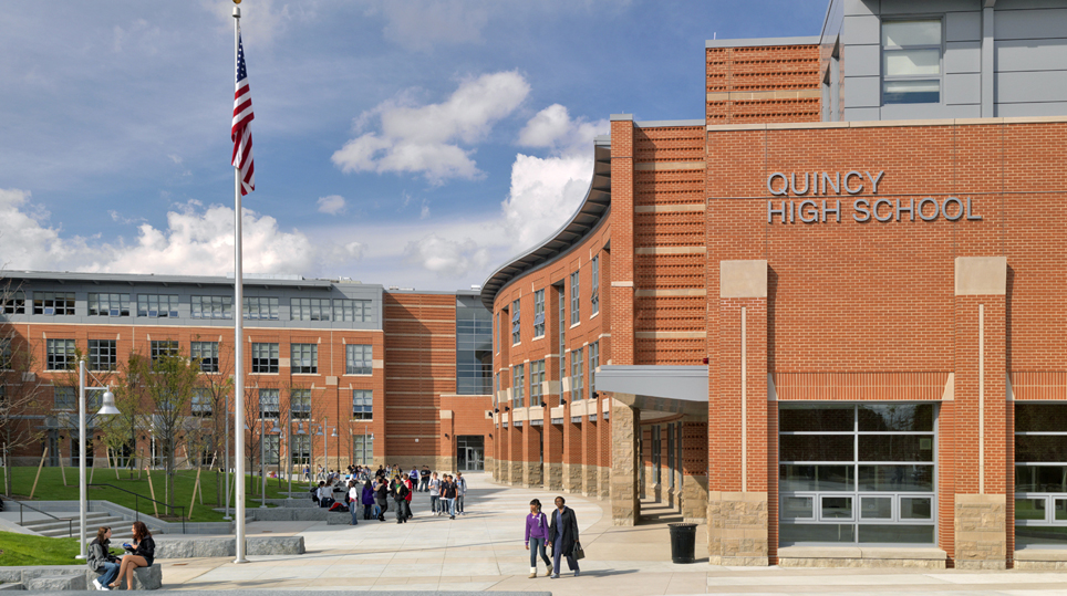
QHS: Quincy High School
VENUE CODE:QHSVENUE ADDRESS:QHS: Quincy High School
75 Russell Park
Quincy, MA 02169
VENUE WEBSITE:N/A -
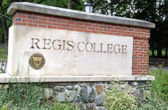
REG: Regis College
VENUE CODE:REGVENUE ADDRESS:REG: Regis College
235 Wellesley Street
Weston, MA 02493
VENUE WEBSITE:N/A -
RHS: Randolph High School
VENUE CODE:RHSVENUE ADDRESS:RHS: Randolph High School
70 Memorial Pkwy
Randolph, MA 02368
VENUE WEBSITE:N/A -
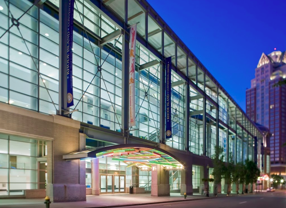
RICC: Rhode Island Convention Center
VENUE CODE:RICCVENUE ADDRESS:RICC: Rhode Island Convention Center
1 Sabin Street
Providence, RI 02903
VENUE WEBSITE: -
SFH: The Field House - Sudbury
VENUE CODE:SFHVENUE ADDRESS:SFH: The Field House - Sudbury
31 Union Ave
Sudbury, MA 01776
VENUE WEBSITE:N/A -
SHC: Stonehill College
VENUE CODE:SHCVENUE ADDRESS:SHC: Stonehill College
320 Washington Street
Easton, MA 02357
VENUE WEBSITE:N/A -
SIM: Simmons College
VENUE CODE:SIMVENUE ADDRESS:SIM: Simmons College
331 Brookline Avenue
Boston, MA 02115
VENUE WEBSITE:N/A -
SJC: St Joseph’s College
VENUE CODE:SJCVENUE ADDRESS:SJC: St Joseph’s College
278 Whites Bridge Road
Standish, ME 04084
VENUE WEBSITE: -
SJG: Saint John’s Gym
VENUE CODE:SJGVENUE ADDRESS:SJG: Saint John’s Gym
149 Chestnut St.
Clinton, MA 01510
VENUE WEBSITE:N/A -
SLAM: SLAM Volleyball Club
VENUE CODE:SLAMVENUE ADDRESS:SLAM: SLAM Volleyball Club
72 Jefferson Street
Marlborough, MA 01752
VENUE WEBSITE:N/A -

SMCC: Southern Maine Community College
VENUE CODE:SMCCVENUE ADDRESS:SMCC: Southern Maine Community College
175 Benjamin W Pickett St
South Portland, ME 04106
VENUE WEBSITE: -
SPCM: South Portland Community Center
VENUE CODE:SPCMVENUE ADDRESS:SPCM: South Portland Community Center
21 Nelson Rd
South Portland, ME 04106
-
SPZ: Sportszone
VENUE CODE:SPZVENUE ADDRESS:SPZ: Sportszone
7 A Street
Derry, NH 03038
VENUE WEBSITE: -
SSC: Salem State College
VENUE CODE:SSCVENUE ADDRESS:SSC: Salem State College
225 Canal Street
Salem, MA 01970
VENUE WEBSITE:N/A -
STBS: St. Bernards Activity Center
VENUE CODE:STBSVENUE ADDRESS:STBS: St. Bernards Activity Center
260 Summer St
Fitchburg, MA 01420
VENUE WEBSITE:N/A -
STW: Teamworks - Somerset
VENUE CODE:STWVENUE ADDRESS:STW: Teamworks - Somerset
732 Lee's River Avenue
Somerset, MA 02725
VENUE WEBSITE:N/A -
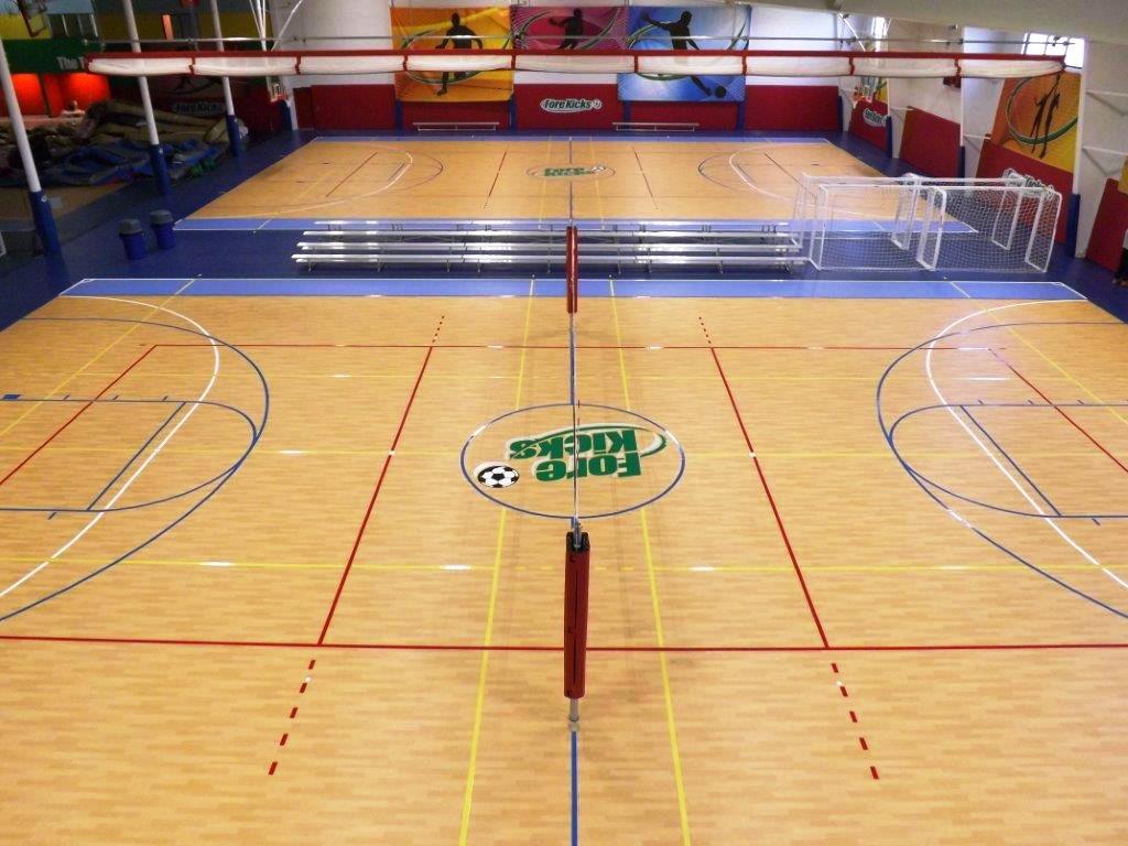
TAU: Taunton - Forekicks
VENUE CODE:TAUVENUE ADDRESS:TAU: Taunton - Forekicks
223 Fremont St
Taunton, MA 02780
VENUE WEBSITE:N/A -
-
THS: Taunton High School
VENUE CODE:THSVENUE ADDRESS:THS: Taunton High School
50 Williams St
Taunton, MA 02780
VENUE WEBSITE:N/A -
TSC: Thayer Sports Center
VENUE CODE:TSCVENUE ADDRESS:TSC: Thayer Sports Center
1535 Washington Street
Braintree, MA 02184
VENUE WEBSITE:N/A -
TUH: The U Hanover
VENUE CODE:TUHVENUE ADDRESS:TUH: The U Hanover
645 Washington St
Hanover, MA 02339
VENUE WEBSITE: -
TWK: Teamworks - Warwick
VENUE CODE:TWKVENUE ADDRESS:TWK: Teamworks - Warwick
170 Jefferson Blvd
Warwick, RI 02888
VENUE WEBSITE:N/A -
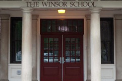
TWS: The Winsor School
VENUE CODE:TWSVENUE ADDRESS:TWS: The Winsor School
375 Longwood Ave
Boston, MA 02215
VENUE WEBSITE: -

UMB: UMass-Boston
VENUE CODE:UMBVENUE ADDRESS:UMB: UMass-Boston
100 Morrissey Blvd
Boston, MA 02125
VENUE WEBSITE:N/A -

UML: UMass-Lowell
VENUE CODE:UMLVENUE ADDRESS:UML: UMass-Lowell
261 Riverside Street
Lowell, MA 01854
VENUE WEBSITE:N/A -
URI: University of Rhode Island (Keaney Gymnasium)
VENUE CODE:URIVENUE ADDRESS:URI: University of Rhode Island (Keaney Gymnasium)
3 Keaney Road
Kingston, RI 02881
VENUE WEBSITE:N/A -
USM: University of Southern Maine
VENUE CODE:USMVENUE ADDRESS:USM: University of Southern Maine
Campus Ave
Gorham, ME 04038
VENUE WEBSITE: -
WAY: Wayland High School (Field House)
VENUE CODE:WAYVENUE ADDRESS:WAY: Wayland High School (Field House)
264 Old Connecticut Path
Wayland, MA 01778
VENUE WEBSITE:N/A -
WEHS: Westbook High School
VENUE CODE:WEHSVENUE ADDRESS:WEHS: Westbook High School
125 Stroudwater St
Westbrook, ME 04092
VENUE WEBSITE:N/A -
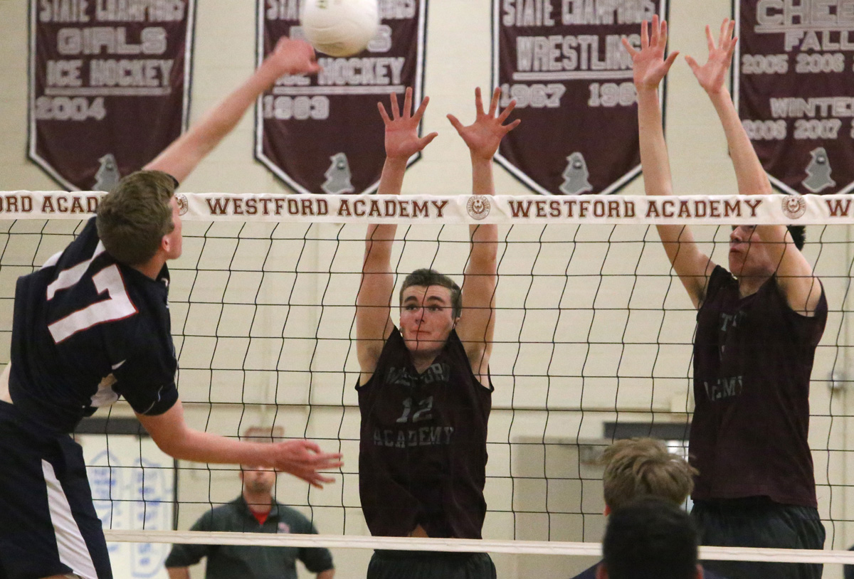
WES: Westford Academy High School
VENUE CODE:WESVENUE ADDRESS:WES: Westford Academy High School
30 Patten Road
Westford, MA 01886
VENUE WEBSITE:N/A -
WHC-C: Wheaton College - Clark Recreation Center
VENUE CODE:WHC-CVENUE ADDRESS:WHC-C: Wheaton College - Clark Recreation Center
26 E Main St
Norton, MA 02766
VENUE WEBSITE:N/A -
WHS: Windham High School
VENUE CODE:WHSVENUE ADDRESS:WHS: Windham High School
406 Gray Road
Windham, ME 04062
VENUE WEBSITE: -
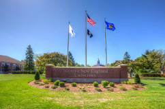
WNE: Western New England Univeristy
VENUE CODE:WNEVENUE ADDRESS:WNE: Western New England Univeristy
1215 wilbraham road
Springfield, MA 01119
VENUE WEBSITE: -
WPY: Westwood Park YMCA Nashua
VENUE CODE:NSAVENUE ADDRESS:WPY: Westwood Park YMCA Nashua
90 Northwest Blvd
Nashua, NH 03063
VENUE WEBSITE:N/A -
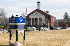
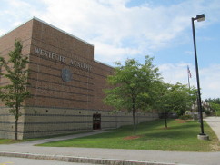
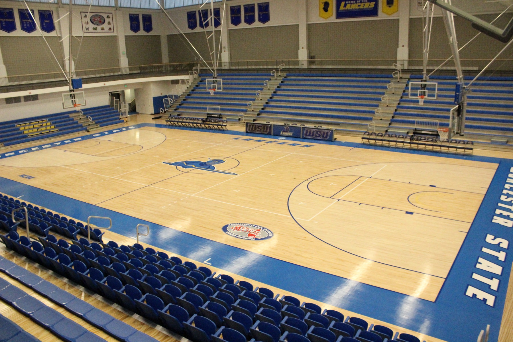
WSU: Worcester State University
VENUE CODE:WSUVENUE ADDRESS:WSU: Worcester State University
486 Chandler St
Worcester, MA 01602
VENUE WEBSITE: -
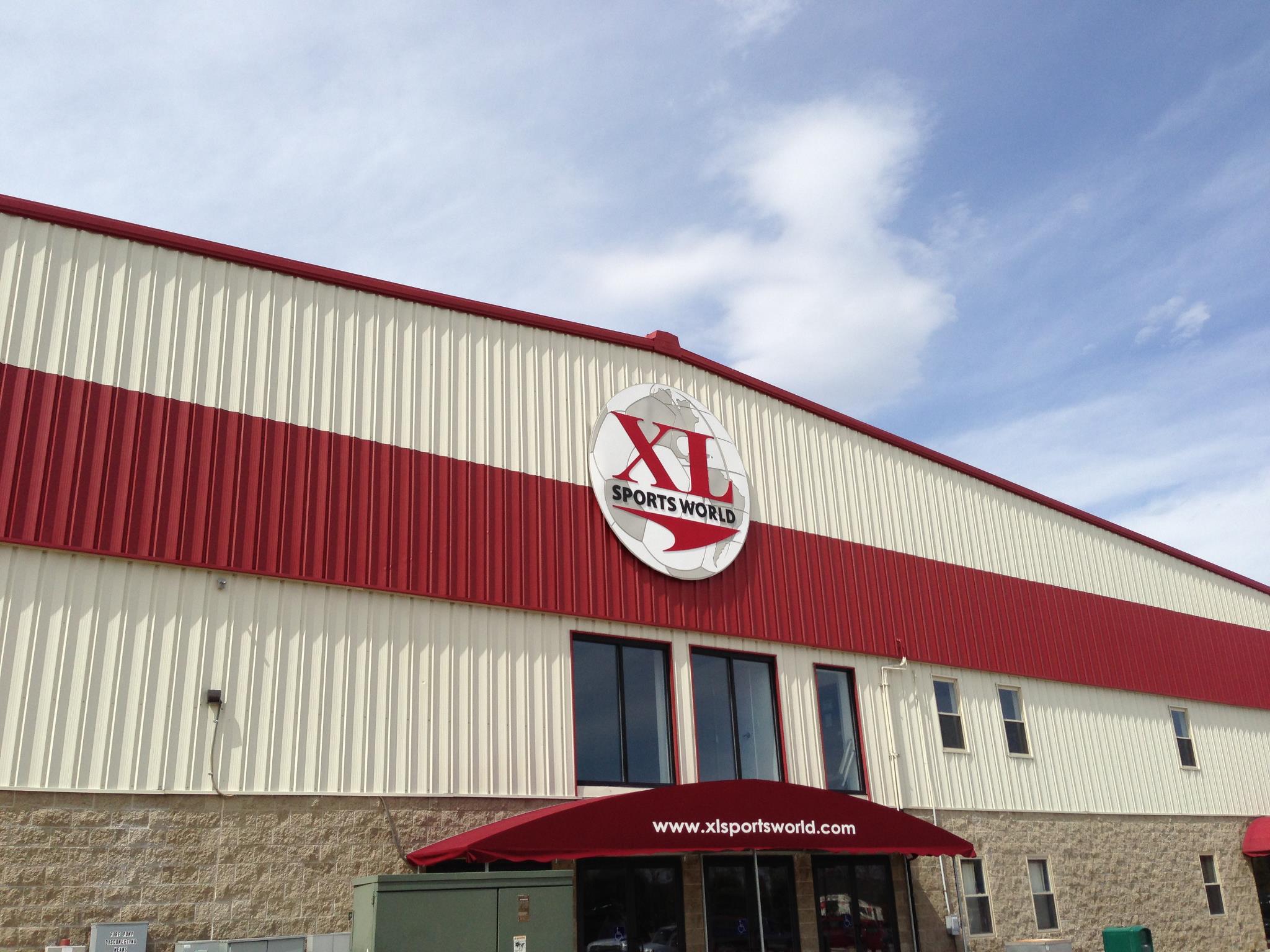
XLME: XL Sports World
VENUE CODE:XLMEVENUE ADDRESS:XLME: XL Sports World
400 North St
Saco, ME 04072
VENUE WEBSITE:N/A -
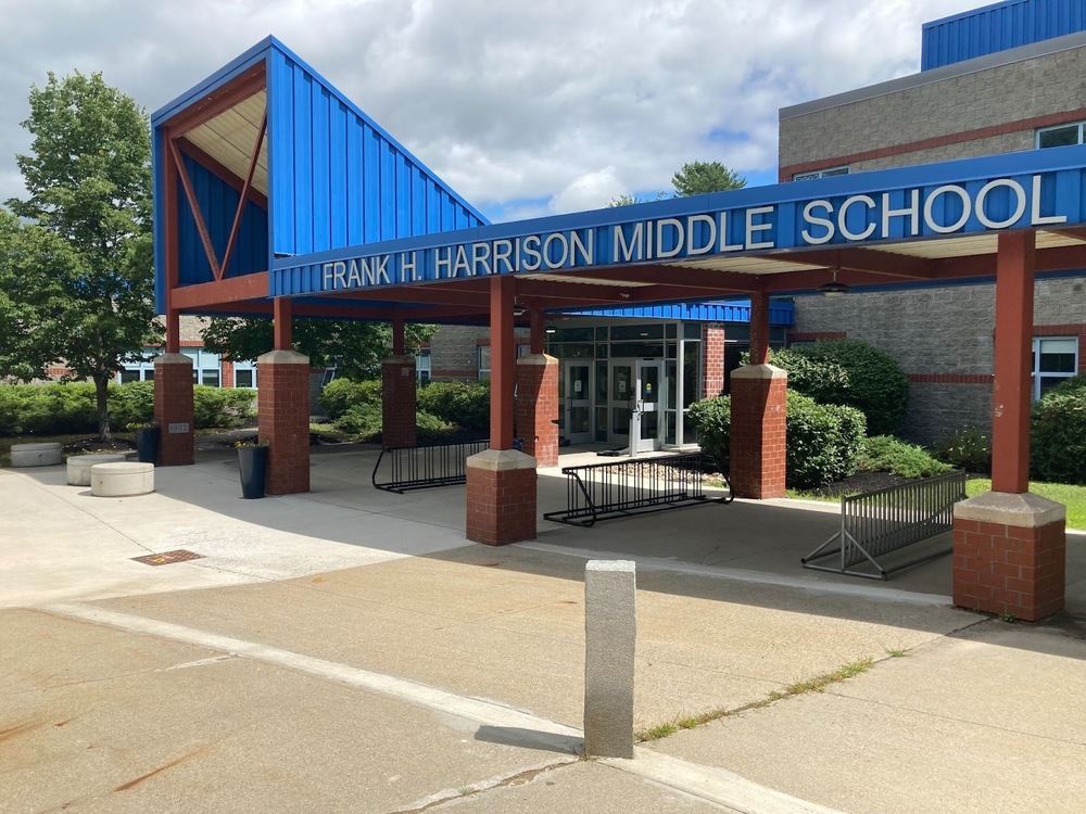
YARM: Frank H Harrison Middle School
VENUE CODE:YARMVENUE ADDRESS:YARM: Frank H Harrison Middle School
220 McCartney St
Yarmouth, ME 04096
VENUE WEBSITE:


